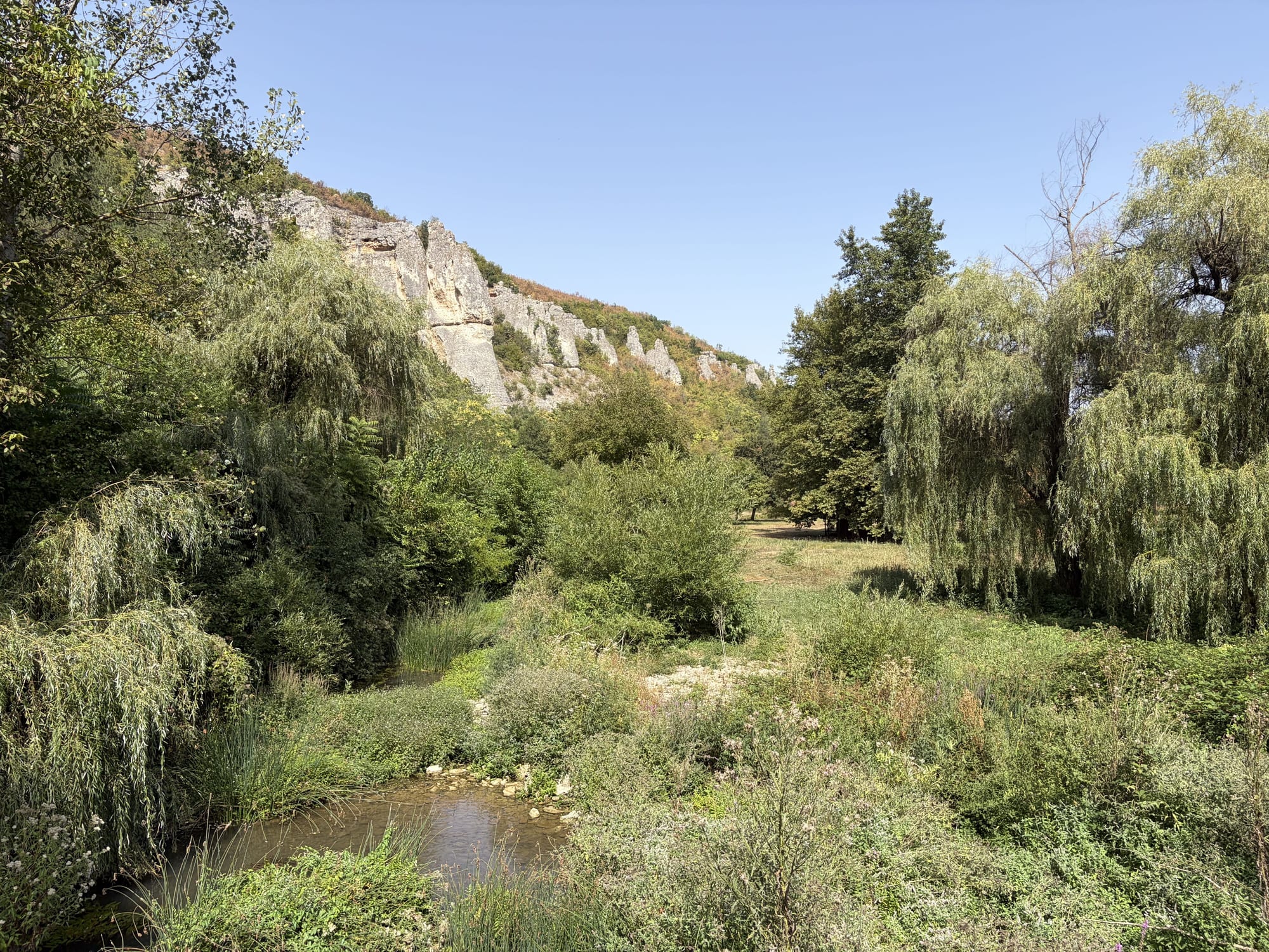
Within a short distance of one another, this place brings together running water, riparian vegetation, broadleaf forests on the slopes, limestone rocks and karst, and a managed body of water. This combination, rather than any single landmark, is the natural value of Reselets. Each of these habitats has its own rhythm and its own sensitive periods.
Natura 2000
A Natura 2000 context, not a blanket label for every place.
The territory of Reselets appears in the official registers of two protected zones: Karlukovo (BG0001014) under the Habitats Directive and Karlukovski karst (BG0000332) under the Birds Directive. This is an important conservation context, but it does not mean that every parcel, building, route or activity falls under the same regime. Any specific initiative must check the exact location, the current boundaries of the protected zones, the applicable regimes and the required environmental procedures.
Protected sites
The protected rock formations are part of this network.
The natural monument Kaleto overlaps both Natura 2000 zones, and so do Skalnite Kukli in the Pladnishteto locality in the Rachene valley. Two more rock formations in the land of Reselets are protected, Kuklite in the Uleya locality above the Iskar and Kupenite by the road to Breste, as is Skoka waterfall on the Belilkata River. The three groups of Kukli are separate sites with different names and locations; the overview page sets them apart.
The site publishes no species lists, conservation status or population numbers, because there is no sufficiently specific source for them. We publish documented observations: what was recorded, when and under what conditions, without conclusions the recording does not support. The difference between an observation and a scientific conclusion is the basis of an honest presentation of nature here.
Water
Water connects everything.
The rivers, the small tributaries and the reservoir are the backbone of the habitats around Reselets. The condition of the water determines what lives in it and beside it. That is why water monitoring and biodiversity observation are considered together, not as separate topics.
Here we gather what has actually been recorded around the reservoir and the rivers: video recordings and photographs with a short description. The observations are not scientific conclusions. We publish no numbers, den sites or exact coordinates of sensitive places.
Video recording
Mammals · Video
Otters at the reservoir
Otters have been recorded on video at the reservoir. The footage documents the presence of the species in the area. It is not a study of population, numbers or dens, and exact observation points are not published.
A heron photographed from the shore of the reservoir. Waterside birds are among the easiest groups to observe and a natural starting point for future systematic monitoring.
A shoal of small fish near the surface of the reservoir. The managed water body has its own fish and freshwater context that is yet to be described more systematically.
Habitats
Water, shore, forest and rock.
A small river under riparian woodland, flowering shoreline vegetation at the reservoir, the limestone rim through the leaves of the trees and a plant on an old stump by the water. The gallery presents the area but is not access or route guidance.
Future systematic monitoring
The observations so far are a beginning, not a system. The next step is regular, documented monitoring with a clear method, which first describes the place and only then gives grounds for decisions. The directions below are being explored: they are not started, funded or approved projects.
Exploring
Birds
Regular observations of birds by the water and in the forests, with date, place and a photograph or recording as evidence.
Exploring
Mammals
Continuation of the documented observations of otters and other mammals, including camera traps in suitable, non-sensitive places.
Exploring
Fish
Description of the fish communities in the managed reservoir and in the rivers, in line with the management rules and the seasonal restrictions.
Exploring
Habitats
Observation of the riparian vegetation, the forest sections and the rock habitats over time, including erosion and changes along the banks.
Exploring
eDNA
Environmental DNA from water samples as a future possibility for identifying species without capture or disturbance, in partnership with a laboratory.
Exploring
Water
Baseline measurements of temperature, pH, dissolved oxygen, conductivity and turbidity, which give context to every biological observation.