Photography of Kuklite in Uleya planned
Kuklite in Uleya - Reseletskite Kukli
More than 20 rock pinnacles on the right bank of the Iskar, protected since 1972.

Places and landmarks · The Kukli
Around Reselets there are several separate groups of limestone rock forms that everyday speech often calls kukli. The official registers distinguish three protected sites with different names and locations. This page sets them apart and explains where the confusion comes from.
The three places
Each has its own page with its official name, the protection order and the description by the University of Mining and Geology. Pladnishteto and Kupenite have photography; Uleya will get a photograph once it is photographed from a verified viewpoint.
More than 20 rock pinnacles on the right bank of the Iskar, protected since 1972.
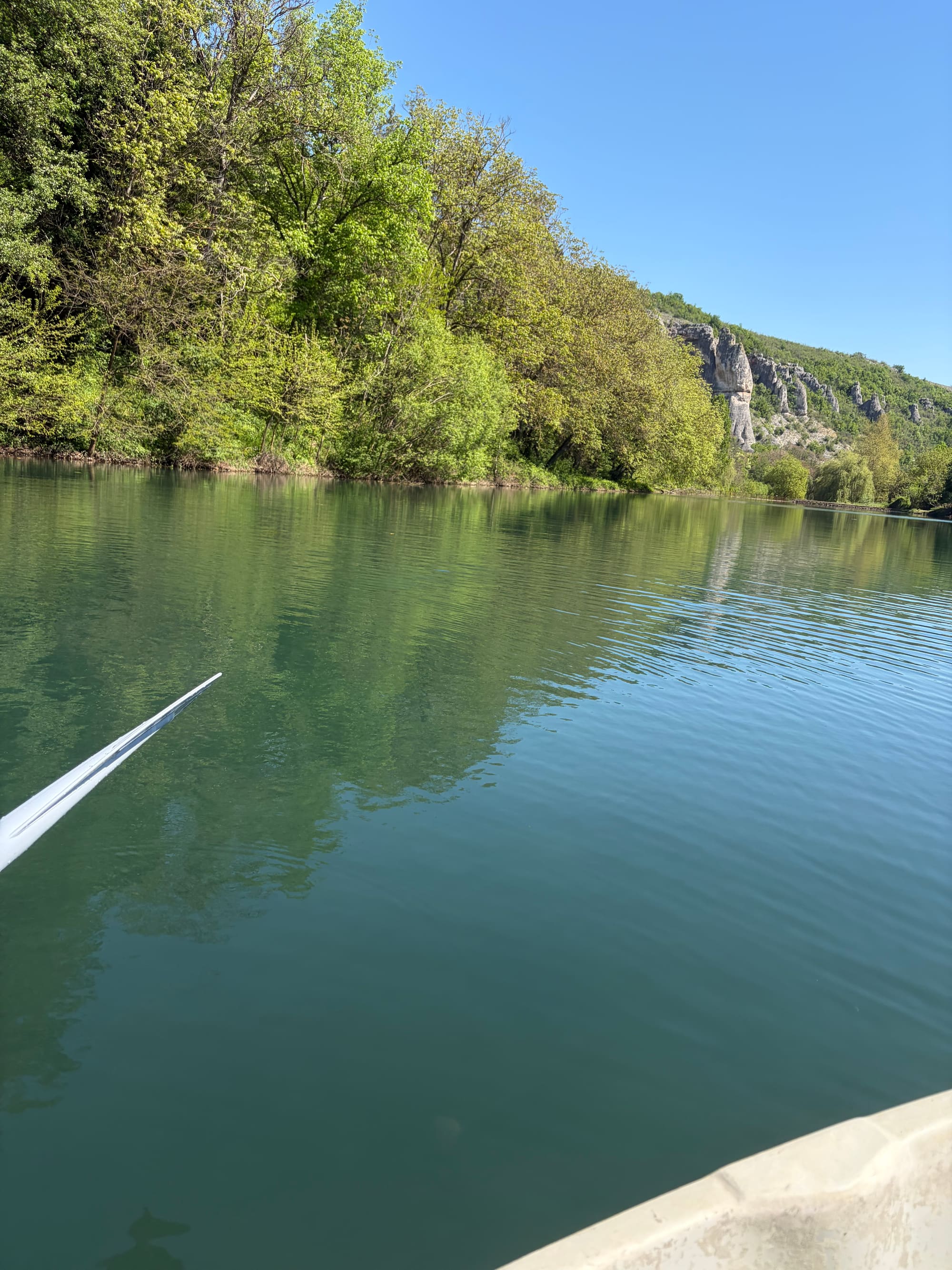
A protected territory in the Rachene valley, 64.42 hectares, declared in 1972.
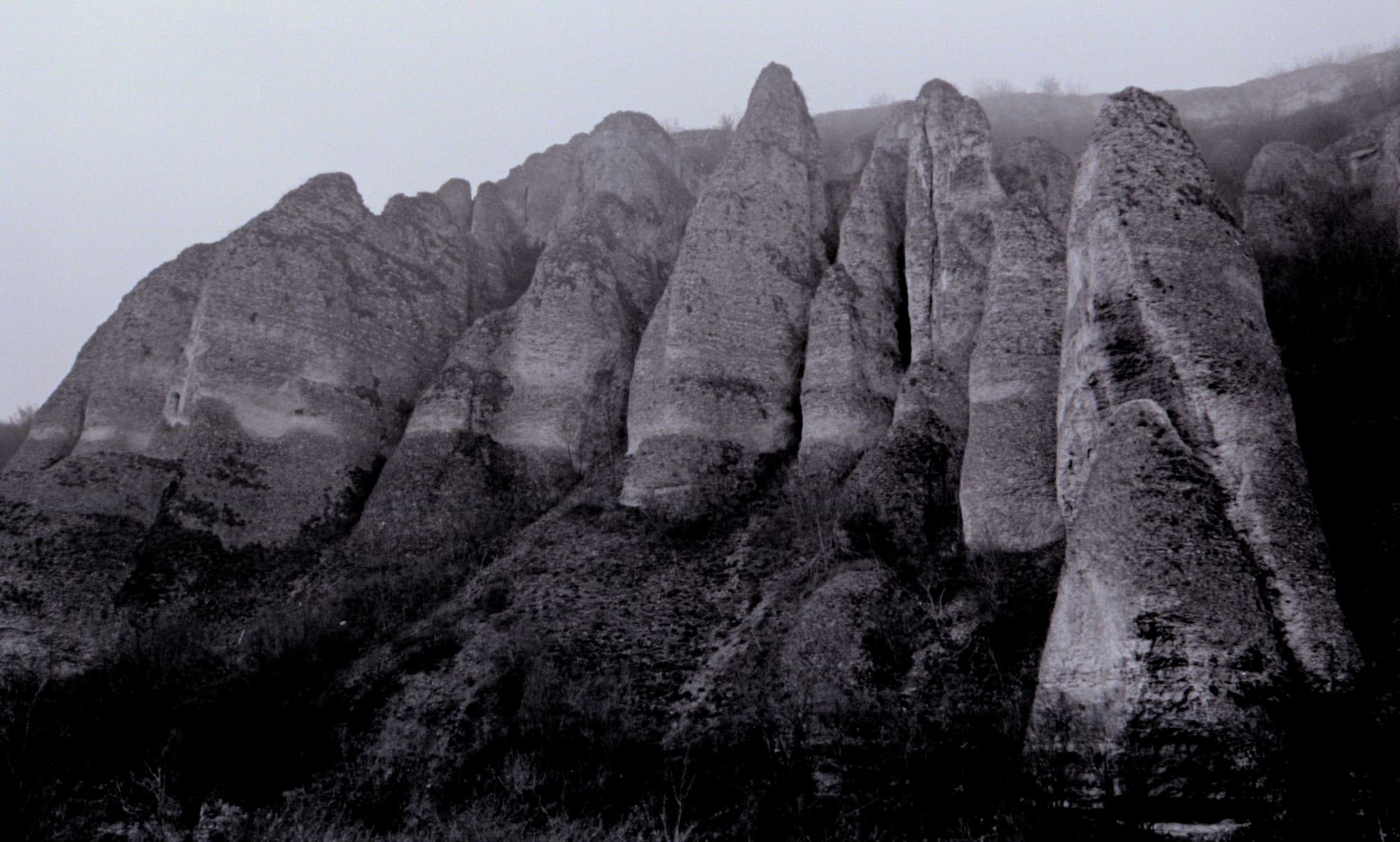
Rock pyramids 30 to 40 metres above the river, a hundred metres above Skoka waterfall.
Uleya
The University of Mining and Geology uses the name Reseletskite Kukli for the geotope in the Uleya locality, southeast of the village on the steep right bank of the Iskar: more than 20 rock pinnacles along the rim of a rock face, visible from the Sofia - Varna railway line. A protected natural monument since 1972. This is the place for which the site keeps the Reseletskite Kukli address.
Pladnishteto
In the Rachene valley, declared in 1972, with a current area of 64.42 hectares after the boundary update of 2018. The boundary also includes the parcel of the municipal reservoir, so the rock rim around the reservoir and Barazha belongs to this context, not to Uleya. Which part of the rim is which figure is still to be checked on the ground.
Kupenite
Limestone rock pyramids on the right bank of the Belilkata by the road to Breste, 30 to 40 metres above the riverbed and a hundred metres above Skoka waterfall. A separate natural monument since 1972. The description "more than 20 rock pinnacles" refers to Uleya, not to Kupenite.
The name
The municipal Kaleto tourism project of 2011-2013 called its alley and accompanying attraction on the route through Pladnishteto to Barazha "Reseletskite Kukli". The project website itself distinguished the three sites by their official names, so the drift is in the name of the route, not in the description of the places. Since then tourism and local publications have used "Reseletskite Kukli" more broadly, sometimes for Kupenite too. This site uses the official locality name for every page and gives the local and historical names as context.
The figures
Several sources give names to individual figures. The project website links the set Sphinx, Gate, Buchkata, Castle and Rooster to Skalnite Kukli. The municipal tourism page and a BTA report of 2016 describe a gate on three columns, an old man, a stone crown, an oval window and an elephant, placing the oval window by the Rachene. None of these names has been matched to a specific rock or photograph, so the site mentions them as documented names and puts none of them on a map or under a picture.
Neighbours
Further up the Rachene, in the land of the neighbouring village of Breste, are the Chuklite rock pyramids and the block erosion form Kamarata. They belong to the same regional system of limestone forms, but they are not a place in Reselets, and the site shows them only as context, on the canyon page. How the limestone takes these forms is told on the landscape page.
Access
Access to Uleya and to Kupenite has not been checked on the ground, and the current condition of the historical route through Pladnishteto is not documented. The site publishes no access guidance for any of the three places and offers no visits or guiding.