Landscape
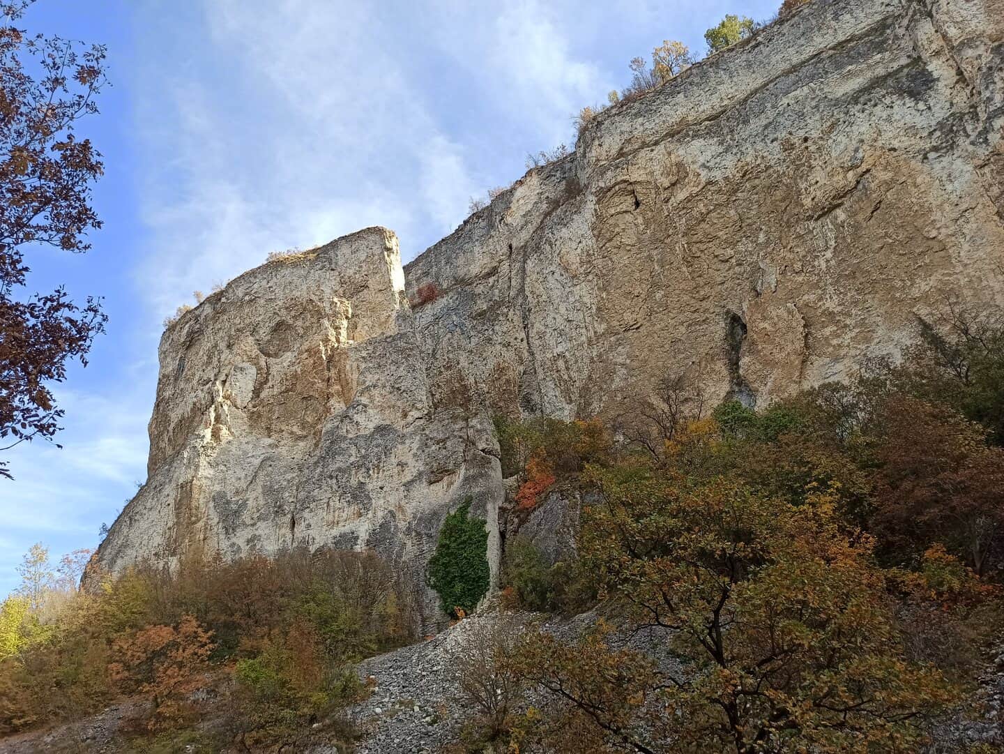
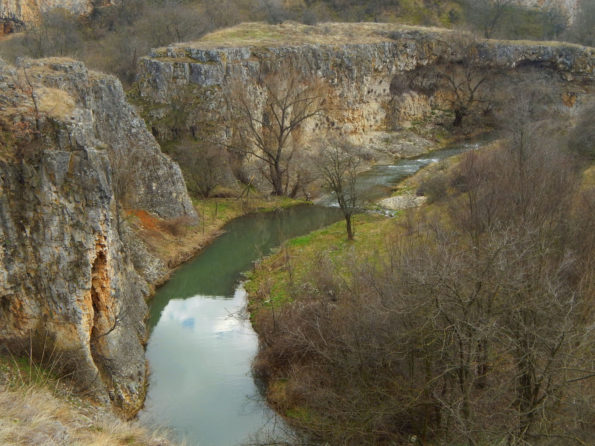
Canyons, rock pinnacles and collapsed limestone blocks.
This page tells how the limestone around Reselets got its forms and how the individual places relate to one another: through the same layers, the same rivers and the same protected territory. Each of the places has its own page.
The limestone
One limestone, many forms.
The rocks around Reselets are Maastrichtian limestone of the Late Cretaceous, formed approximately 68 to 72 million years ago. Fractures, dissolution along those fractures, river erosion and collapse have shaped them into canyons, gorges, rock pinnacles and fallen blocks. The places with their own pages on this site show different stages of the same geological story.
The forms
How to read this landscape.
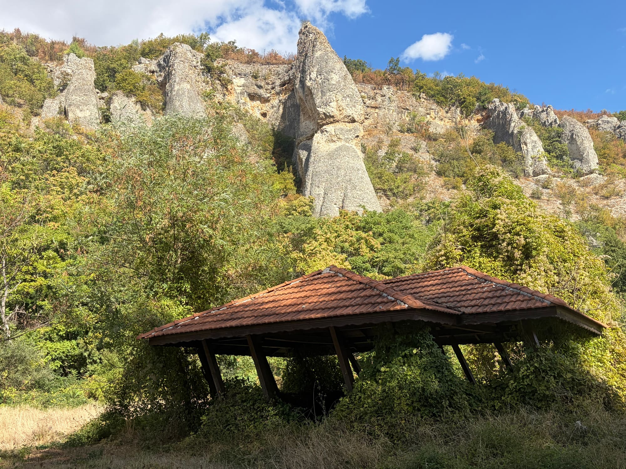
The canyon here has two faces: the short karst gorge of Kaleto, filled with enormous collapsed limestone blocks, and the long river valley of the Rachene with steep slopes and narrow sections. Pinnacles, as a form, are individual limestone shapes along the edge of a rock rim. Collapsed blocks result from the dissolution of limestone along vertical fractures and the fall that follows. The same layers, different processes and different places.
The four geotopes
Four geotopes around Reselets.
The University of Mining and Geology identifies Skalnite Kukli, Reseletskite Kukli, Kaleto and Kupenite as geotopes around Reselets included in the Register and Cadastre of Geological Phenomena in Bulgaria. In its 2008 Annual the university describes around Reselets a unique ensemble of more than 10 groups of rock pyramids. Few villages in the country have such a dense group of registered geological phenomena within their land. Each of the places has its own page, and the three groups of Kukli are set apart on an overview page that also explains why their names get mixed up.
Kupenite
Rock pyramids above the river.
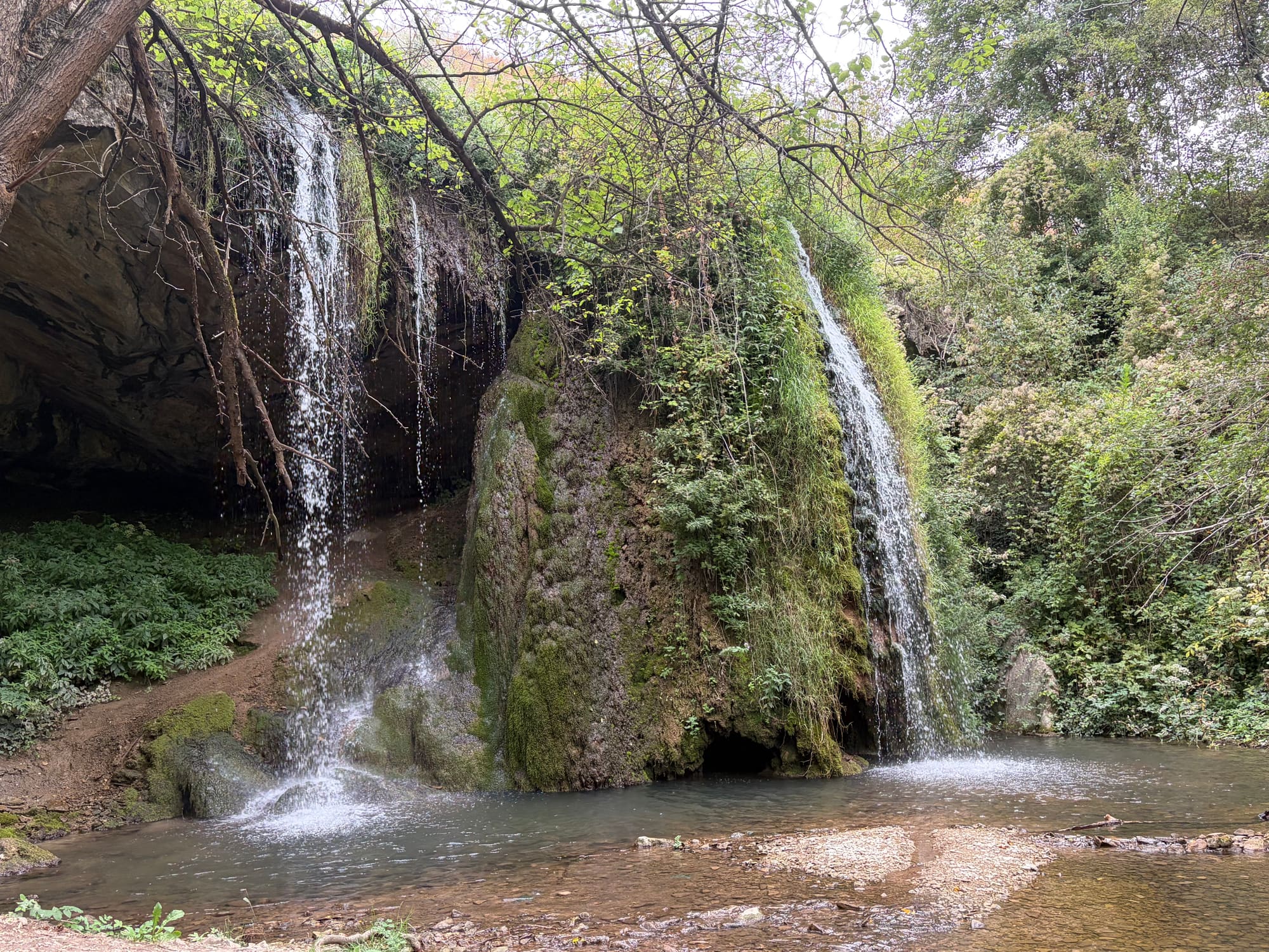
The University of Mining and Geology describes Kupenite as limestone rock pyramids lined along the steep right bank of the river, rising 30 to 40 metres above the riverbed, formed during the last tens of thousands of years by rainwater working on the Maastrichtian limestone. The university compares them with the Chudnite Skali of the eastern Fore-Balkan and ranks them among the most beautiful limestone rock compositions in the country. A hundred metres below them lies Skoka waterfall.
The science
What the geologists say about Reselets.
The limestone around Reselets has been studied for decades. In the 2008 Annual of the University of Mining and Geology, Sinyovski and co-authors describe the kukli as oval or conical pillar-like erosional forms from a few to tens of metres high. Papers in Geologica Balcanica from 2020 and 2021 revisit the Upper Cretaceous sections near Reselets: older sections in the Belilo valley and near Reselets railway station and a new section about a kilometre southwest of the village, with the beds of the Darmantsi, Kunino and Mezdra formations and fossils of inoceramid bivalves, ammonites, belemnites and foraminifers. Reselets is not only scenic karst but a genuine palaeontological and stratigraphic locality.
River and rock
Water connects the places in the landscape.
The forms of this landscape are inseparable from running water. The Rachene has cut the long valley between Kameno Pole and Reselets, whose lower part reaches the Kaleto forest park and the protected objects within it. The Belilkata forms Skoka waterfall in a separate valley. The two rivers belong to different parts of the water landscape, but they work on the same limestone.
Neighbours along the valley
The landscape does not end at the boundary of the land.
Further up the Rachene valley, in the land of the neighbouring village of Breste, the same Upper Cretaceous limestones form other registered geological phenomena: the Chuklite rock pyramids and the block erosion form Kamarata. They are part of the same canyon, but they are not in Reselets and should not be confused with Kaleto. The details about them are on the canyon page.
Status
Protected, not just picturesque.
Five of the places in this landscape are natural monuments in the official register: Kaleto, Kuklite in the Uleya locality, Skalnite Kukli in the Pladnishteto locality, Kupenite and Skoka waterfall. The whole landscape overlaps the Natura 2000 zones Karlukovo and Karlukovski karst. The years, codes and areas of protection are on the pages of the individual places. The Natura 2000 context is not a general label: the regime is checked for the specific place and the specific activity.