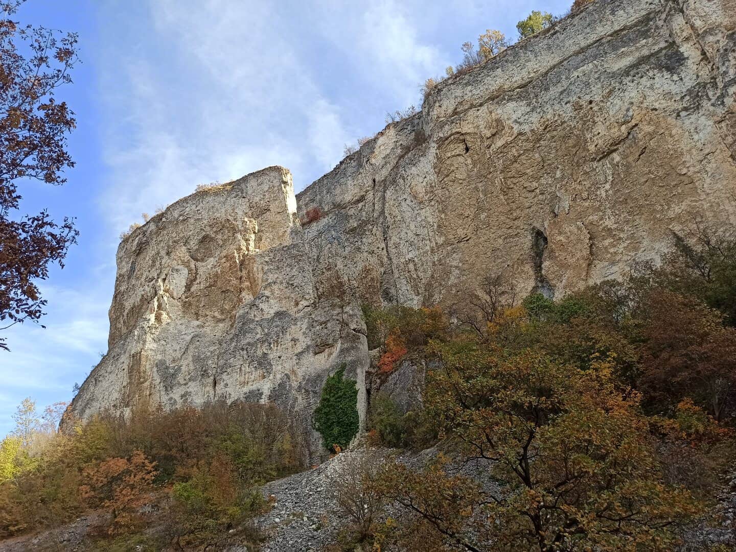
Kaleto
A karst canyon about 600 metres long, protected since 1961.

Reselets · The places
The places with their own pages on this site: natural landmarks and living water heritage. Every page rests on official, academic or clearly attributed local sources.
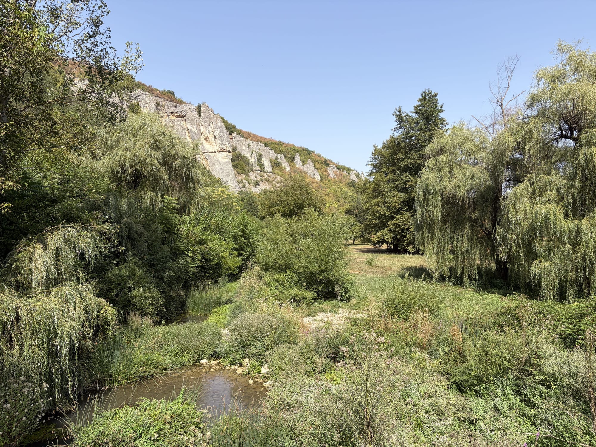
Natural landmarks
Described by the University of Mining and Geology and listed in the register of protected areas.
A karst canyon about 600 metres long, protected since 1961.
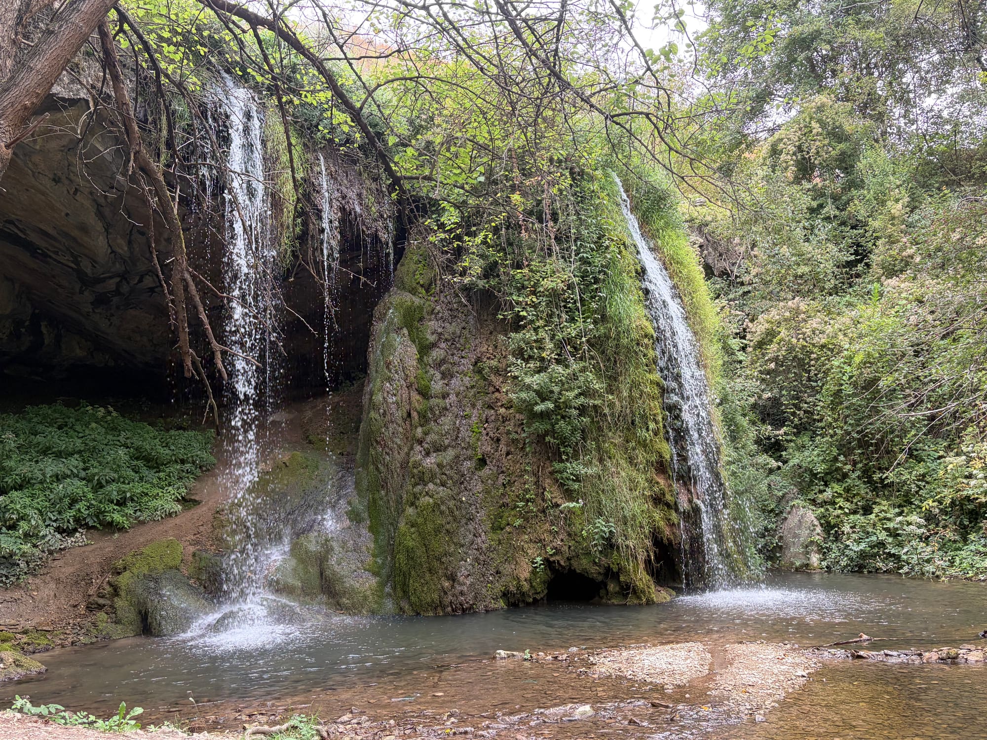
A protected waterfall on the Belilkata River, register code 281.
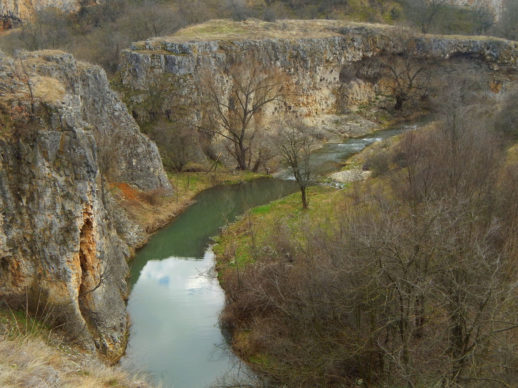
Between Kameno Pole and Reselets, up to 100 metres deep.
The rock formations
Three separate protected rock sites that everyday speech often merges under one name. The overview page sets them apart and explains the names; each place also has its own page.
Living water heritage
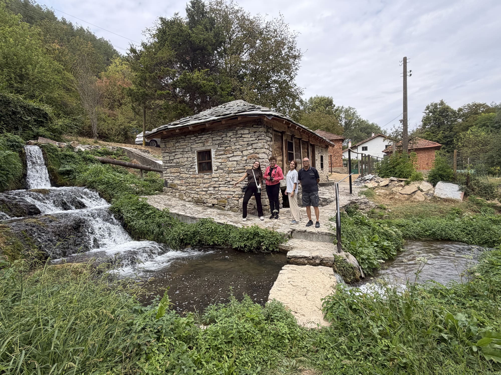
According to the current owners the watermill has never stopped working, and rugs are still washed in the perilo, the local washing place in running water. It is a different kind of place: built water heritage rather than a protected natural landmark.
The watermill and perilo page